SunSketcher Logo

Resources

SunSketcher Resources

SunSketcher Brochure

March 1st, 2024

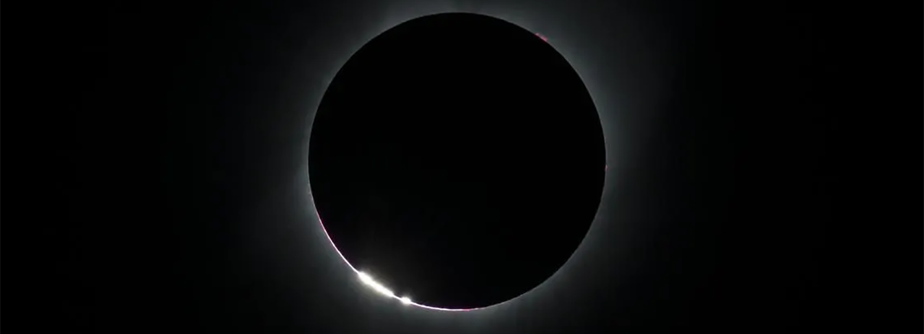
Our brochure is a great way to share the instructions and details of the SunSketcher app, especially leading up to April 8th. With a tutorial, an explanation of the science behind SunSketcher, and even a link to this website, it covers everything you may need to know to use our app during the eclipse!

PDFnorth_east

Resources for Educators

High School Lesson Plan

Feburary 25th, 2024

A lesson plan on the eclipse and SunSketcher intended for high school students. Students will learn about Baily's beads, and how the SunSketcher app uses GPS location and detailed maps of the moon to create a more full picture of the Sun.

PDFnorth_east

Middle Grades Lesson Plan

Feburary 25th, 2024

A lesson plan on the eclipse and SunSketcher intended for middle grade students. Students will learn about Baily's beads, and how the SunSketcher app uses GPS location to create a more full picture of the Sun.

PDFnorth_east

Eclipse Resources

A screenshot from the .

Interactive Map

March 28, 2024

Image Credit: geocollaborate.com

An interactive map showing weather balloon launches, citizen science projects, and NASA eclipse events during the eclipse!

Interactive Mapnorth_east
A screenshot of the eclipse path and the moon's shadow over Indianapolis.

The Eclipse Path, Animated!

Feburary 25th, 2024

Image Credit: greatamericaneclipse.com

An animation from Great American Eclipse showing the eclipse path across Mexico, the United States, and Canada. The video shows the time of totality and duration for locations across the entire line of totality!

Animationnorth_east
An image of Baily's Beads during a total eclipse.

Where to see Baily's Beads

Feburary 25th, 2024

Image Credit: NASA/Aubrey Gemignani

A great article from Photo Ememeris explaining Baily's Beads, the same flashes of light we are looking for here at SunSketcher, and where in the total eclipse path is best for seeing them, by looking at locations in Texas.

Articlenorth_east